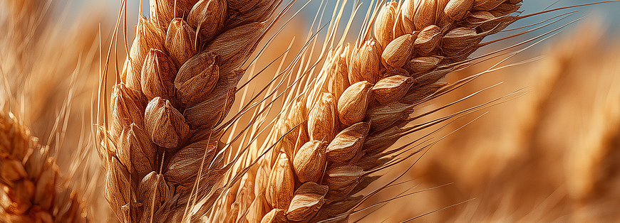
Weather-indexed protection for crops: mitigate the financial impact of abnormal rainfall, drought, heat, or freeze with a coverage calibrated to your fields.
Abnormal weather—prolonged rain, lengthy droughts, extreme heat, or freeze—can damage yields, quality, logistics, and cash flow. Our parametric (index-based) crop cover reduces that volatility and can respond to losses that traditional insurance may not capture. You choose the tolerable level of adverse weather and the payout required to defend your P&L.
Unlike conventional claims that demand proof of severity, causation, and loss size, our policies rely on objective measurements from nearby weather stations or satellite rainfall/temperature data. If the pre-agreed trigger is met, your policy pays automatically—clear, timely, and transparent.
Coverage can be annual or multi-year, and can run for any number of days to match your growing window. Premiums are due 20 days prior to inception, and valid claims are settled 14 days after expiry, helping you plan with confidence and communicate reduced volatility to stakeholders.
By transferring weather risk to the insurer, you stabilise revenues and can disclose that reduction in volatility to investors and lenders.
Measurement: All readings come from the nearest station(s) or specified satellite grid cell(s); for portfolios, we can list a panel of stations or grids to reflect your geography. Satellite rainfall can resolve to ~5×5 km and as fine as 0.1 mm in many regions.
These building blocks define how your crop weather cover behaves and how payouts are calculated:
Operations: Premium is due 20 days before inception; valid claims are paid 14 days after expiry. Annual and multi-year terms are available.
Designed for growers and agribusinesses—simple rules, objective data, transparent settlement:
No. We can focus cover on your planting, growing, or harvesting stages only.
No. This is an insurance policy and only pays if the insured peril occurs.
We can specify multiple nearby stations or a panel for portfolios; in many regions, satellite data provides finer localisation and can be used alongside station data.
Typically: (1) location of risk, (2) at least five years of crop loss history, (3) desired limits, (4) excess/deductible preferences, (5) policy period.